Character and Identity
Gesundbrunnen lies in the north of Mitte borough, north of Bernauer Strasse and west of Mauerpark, and borders the district of Mitte to the south as well as Prenzlauer Berg. The district is home to 94,413 residents; the housing stock is spread across 44,829 apartments and 43,357 households (source: Amt für Statistik Berlin-Brandenburg).
If you know Gesundbrunnen from the station, you think first of the traffic. Berlin Gesundbrunnen station is a hub for long-distance, regional, S-Bahn and U-Bahn services, and directly above it sits the Gesundbrunnen-Center, one of the large shopping malls in the north of the city. From here the tracks run in every direction, the S-Bahn ring crosses the district, and the U8 runs underground.
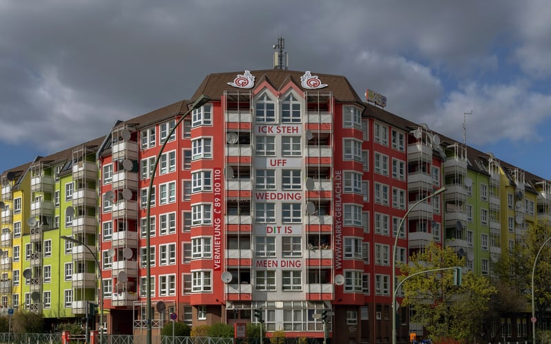
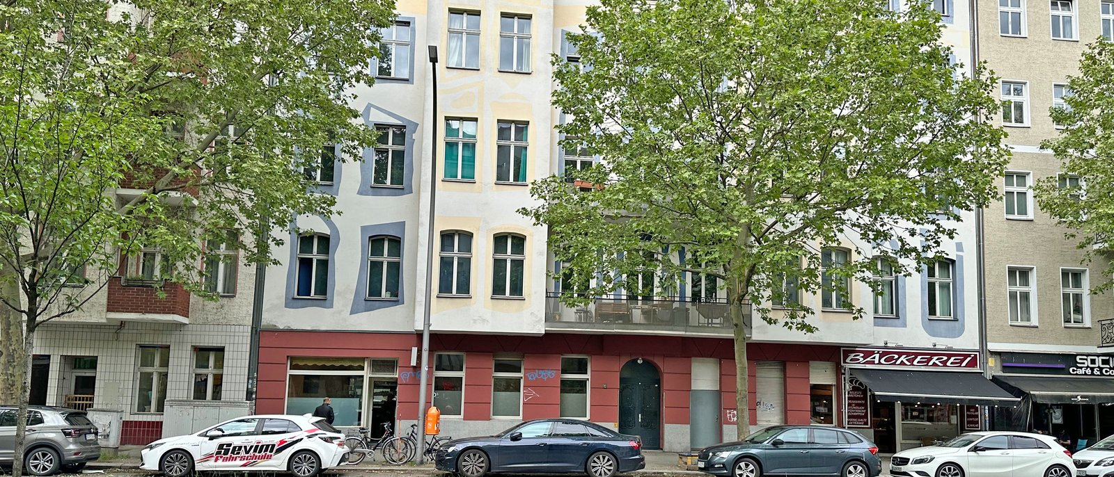
If you live in Gesundbrunnen, you know the other side. Behind the main arteries of Brunnenstrasse and Badstrasse lie densely built residential blocks from the Wilhelminian era and the post-war period, with courtyards, rear buildings and Volkspark Humboldthain with its flak tower in between. Gesundbrunnen is a classic Berlin working-class and immigrant quarter: tight, lively and shaped by decades of migration. This mix of a major transport hub and small-scale Kiez life defines the district.
It helps to know that Gesundbrunnen was long part of the Wedding borough. Only with Berlin's 2001 administrative reform did the district become part of today's larger Mitte borough. The connection to neighbouring Wedding remains noticeable in everyday life, because many Kieze grow together across the old borough boundary.
History and Change
Gesundbrunnen owes its name to a spring. In the 18th century, an iron-rich healing spring was tapped on the Panke and used as a bathing facility, the later Luisenbad, named after the Prussian Queen Luise. The healing spring outside the gates of Berlin gave the district its name. For a long time the area remained rural, with gardens, mills on the Panke and the odd excursion tavern.
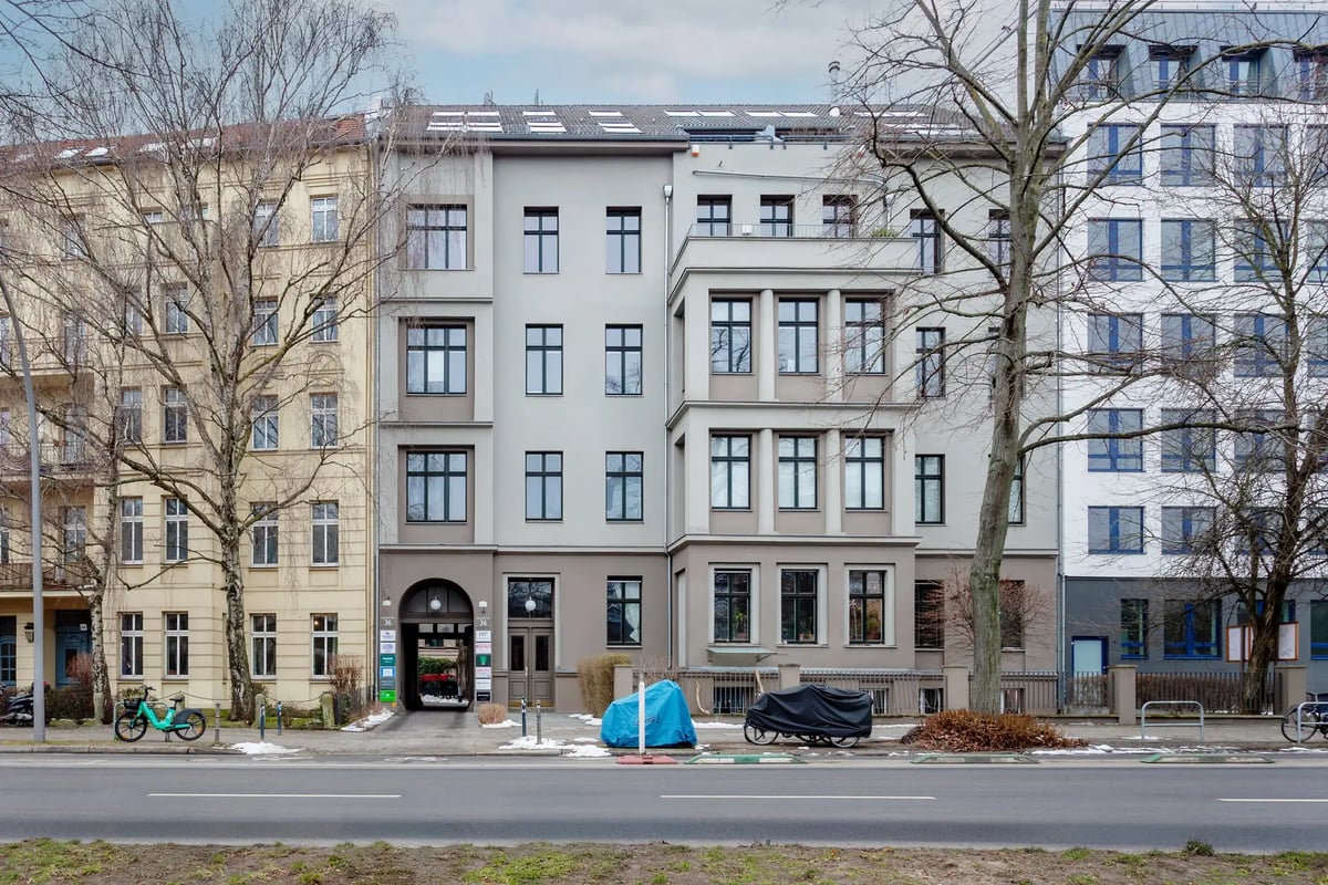
Industrialisation in the 19th century changed the picture fundamentally. Like neighbouring Wedding, Gesundbrunnen grew during the Wilhelminian era into a densely built working-class quarter. Along Brunnenstrasse and Badstrasse, apartment buildings rose with front and rear blocks, and factories and workshops settled in between. The population grew quickly, living space was tight, and for decades the district was seen as the epitome of proletarian Berlin.
The Second World War left deep marks. Between 1941 and 1942, one of Berlin's three flak towers was built in Volkspark Humboldthain; after the war it was partially blown up and covered with rubble, which is how today's viewing hill in the park came about. The gaps in the building stock were filled in the post-war period with social housing. In West Berlin, Gesundbrunnen lay directly on the Wall, which ran along Bernauer Strasse and separated the district from the neighbouring East. Bernauer Strasse became one of the best-known sites of the division and today houses the Berlin Wall Memorial.
After the fall of the Wall, the north of Berlin opened up again. The strip along Bernauer Strasse turned from a restricted zone into a memorial landscape, and Gesundbrunnen station was expanded into a long-distance station as part of Berlin's new rail concept. Since the 2000s, the upgrading processes from the adjoining inner-city locations have also reached into Gesundbrunnen, while parts of the district still count among the densely occupied and comparatively low-income quarters of the city.
Points of Interest
The best-known address is Volkspark Humboldthain. The park combines gardens, an outdoor pool and a rose garden with the remains of the flak tower, whose accessible platform offers a wide view across the north of Berlin. The Humboldthain is the district's most important green space and a meeting point for the surrounding residential quarters.
On the southern edge of the district lies the Berlin Wall Memorial on Bernauer Strasse. On the former border strip, preserved sections of the Wall, a documentation centre and the Chapel of Reconciliation commemorate the division of the city. The memorial draws visitors from around the world and makes the history of the Wall tangible at one of its central sites.
The district's name lives on in the Luisenbad. On the site of the historical healing spring on Badstrasse, a public library, the Bibliothek am Luisenbad, today recalls its origins as a bathing and spa resort. The Panke, the small river that runs through the district, can be experienced as a green and cycling route along the Pankeweg.
Popular Kieze in Gesundbrunnen
- Brunnenviertel: Residential quarter between Brunnenstrasse, Bernauer Strasse and Volkspark Humboldthain, shaped by post-war housing and Wilhelminian-era remnants. The Brunnenviertel is a designated neighbourhood management area and is regarded as a socially mixed Kiez with a high share of families and immigrants.
- Soldiner Kiez: Quarter around Soldiner Strasse in the north of the district, on the boundary with Wedding and along the Panke. Densely built, with Wilhelminian-era period buildings and a markedly international resident base.
- Gesundbrunnen-Center and station surroundings: The area around the station and shopping mall is the commercial focal point of the district, with retail, dining and a high footfall of commuters and travellers.
- Badstrasse: The old commercial street between the station and Pankstrasse is one of the central shopping and supply arteries, lined with shops, snack bars and everyday service providers.
Scene and Everyday Life
Everyday life in Gesundbrunnen plays out along the main arteries. Badstrasse and Brunnenstrasse are the supply lifelines of the district, with a mix of owner-run shops, international grocery stores, snack bars and late-night shops. The Gesundbrunnen-Center brings supra-regional retail together under one roof and draws customers from across the north of Berlin.
The dining scene is down-to-earth and varied, reflecting the quarter's history of immigration. Turkish, Arab and Eastern European cuisine shape the offering just as much as the classic Berlin corner pub. Unlike the thoroughly gentrified inner-city locations, the scene is less geared towards tourism and more oriented to the needs of the neighbourhood.
Culturally, Volkspark Humboldthain serves as a green meeting point and the Bibliothek am Luisenbad as a neighbourhood anchor. The proximity to Mauerpark on the eastern boundary brings additional life to the southern part of the district at weekends, when the flea market and karaoke connect neighbouring Prenzlauer Berg and Gesundbrunnen.
Who Lives in Gesundbrunnen
Gesundbrunnen is a densely occupied quarter with a high share of families and a markedly international resident base. The following breakdown shows how households are distributed by size.
| Household size | Count | Share |
|---|---|---|
| 1 person | 24,914 | 57 % |
| 2 people | 7,992 | 18 % |
| 3 people | 4,177 | 10 % |
| 4 people | 3,164 | 7 % |
| 5 people | 1,613 | 4 % |
| 6+ people | 1,497 | 3 % |
The age structure differs from the neighbouring city centre. Alongside the working-age cohorts, the share of children and young families is noticeable, which underlines the character as a residential and family Kiez.
| Age group | Count | Share |
|---|---|---|
| under 6 | 5,007 | 5 % |
| 6–15 | 8,643 | 9 % |
| 15–18 | 2,954 | 3 % |
| 18–27 | 12,974 | 14 % |
| 27–45 | 32,324 | 34 % |
| 45–55 | 11,579 | 12 % |
| 55–65 | 9,943 | 11 % |
| 65+ | 10,989 | 12 % |
The international character shows in the composition of the resident population by region of origin. Gesundbrunnen is among the Berlin districts with a long history of immigration, which is still reflected today in the diversity of the neighbourhood.
| Region of origin | Count | Share |
|---|---|---|
| Turkey | 15,892 | 33 % |
| EU | 13,785 | 28 % |
| unassigned | 4,579 | 9 % |
| Lebanon | 2,843 | 6 % |
| Syria | 2,644 | 5 % |
| Russia | 1,607 | 3 % |
| Ukraine | 1,595 | 3 % |
| India | 1,481 | 3 % |
| USA | 793 | 2 % |
| United Kingdom | 679 | 1 % |
| Afghanistan | 637 | 1 % |
| Iraq | 543 | 1 % |
| China | 496 | 1 % |
| Vietnam | 454 | <1 % |
| Iran | 425 | <1 % |
| Kazakhstan | 309 | <1 % |
Who Is Drawn to Gesundbrunnen
The migration data shows how the population renews itself. Gesundbrunnen is internationally shaped; inflows from across the city boundary account for a substantial share of the population movement, while in internal exchange there are close ties with the neighbouring districts.
| # | Country | Inflow | Outflow | Net |
|---|---|---|---|---|
| 1 | Indien | 462 | 179 | 283 |
| 2 | Türkei | 333 | 233 | 100 |
| 3 | Bulgarien | 234 | 321 | -87 |
| 4 | Ukraine | 169 | 214 | -45 |
| 5 | Polen | 167 | 193 | -26 |
| 6 | Italien | 147 | 110 | 37 |
| 7 | Arabische Republik Syrien | 137 | 81 | 56 |
| – | Deutschland | 1,507 | 1,754 | -247 |
Within Berlin, the exchange is closely tied to the adjoining inner-city and northern districts, above all neighbouring Wedding and the southern parts of Mitte.
| # | District | People |
|---|---|---|
| 1 | Wedding | 490 |
| 2 | Prenzlauer Berg | 380 |
| 3 | Moabit | 340 |
| 4 | Reinickendorf | 307 |
| 5 | Mitte | 306 |
In the opposite direction, the movement runs on a similarly small scale, above all into the neighbouring districts and towards the northern edge of the city.
| # | District | People |
|---|---|---|
| 1 | Wedding | 496 |
| 2 | Reinickendorf | 433 |
| 3 | Prenzlauer Berg | 352 |
| 4 | Neukölln | 346 |
| 5 | Friedrichshain | 304 |
Buildings and Apartments
The building stock comprises 3,122 buildings. The stock is shaped by Wilhelminian-era apartment building construction along the main streets, supplemented by post-war housing that filled the wartime gaps. In quarters such as the Brunnenviertel, row buildings and residential blocks from the 1950s to 1970s dominate, while the Soldiner Kiez holds a high share of period buildings. A chart data source for construction periods is not available; this assessment is based on the Guthmann market report.
The apartment sizes reflect the mix of tight Wilhelminian-era stock and post-war construction. The following overview shows how the stock is distributed across the size classes.
| Size class | Count | Share |
|---|---|---|
| Unter 40 m² | 6,182 | 14 % |
| 40-59 m² | 13,826 | 31 % |
| 60-79 m² | 14,785 | 33 % |
| 80-99 m² | 7,462 | 17 % |
| 100-119 m² | 1,822 | 4 % |
| 120-139 m² | 511 | 1 % |
| 140-159 m² | 137 | <1 % |
| 160-179 m² | 42 | <1 % |
| 180-199 m² | 35 | <1 % |
| 200+ m² | 41 | <1 % |
The use of the stock is also informative for the social mix of the district, in which the rental market clearly predominates.
| Type of use | Count | Share |
|---|---|---|
| Rented | 42,291 | 93 % |
| Owner-occupied | 1,330 | 3 % |
| Vacant | 1,188 | 3 % |
| Commercial | 603 | 1 % |
In the densely built north, new development mainly comes about through densification and the conversion of commercial space rather than on open fields.
| Period | Apartment balance |
|---|---|
| 2021 | 196 apartments |
| 2022 | 97 apartments |
| 2023 | 163 apartments |
| 2024 | 194 apartments |
Transport and Infrastructure
Gesundbrunnen is one of the most important transport hubs in the north of Berlin. Berlin Gesundbrunnen station connects the district to long-distance and regional services and is a central stop for Deutsche Bahn's north-south connections. At the same station, the ring railway with the S41 and S42 lines and the north-south S-Bahn lines meet the U8 underground line, which runs towards Neukölln via Alexanderplatz and Hermannstrasse.
Beyond the station, several S-Bahn and U-Bahn stops serve the district. As well as Gesundbrunnen, the U8 stops at Pankstrasse and Voltastrasse, and the ring railway adds the Bornholmer Strasse station in the east, providing connections towards Prenzlauer Berg and Pankow. Gesundbrunnen is thus connected both to the ring network and to the city's radial lines, which makes for short journeys into the centre and out to the edge of the city.
The road network follows the old arterial routes. Brunnenstrasse and Badstrasse lead south into the city centre, while Osloer Strasse, as part of the northern ring road, takes up east-west traffic. For cyclists, the Pankeweg connects the district along the river with the northern boroughs and the city centre.
Local supply is dense and geared to everyday needs. The Gesundbrunnen-Center covers the larger shop, while Badstrasse and Brunnenstrasse bundle daily needs within walking distance. Schools and daycare centres lie within the residential quarters, and the neighbourhood management in the Brunnenviertel works on the social infrastructure of the Kiez.
When it comes to green spaces, Volkspark Humboldthain is the central anchor, supplemented by the Panke greenways and the proximity to Mauerpark on the eastern boundary. Compared with the densely built city centre, Gesundbrunnen has more contiguous green space, even if the residential quarters themselves remain tightly built.
Who Gesundbrunnen Suits
- Commuters with a rail connection: The long-distance, regional, S-Bahn and U-Bahn hub at Gesundbrunnen station offers short journeys into the centre and, via the ring railway, across the whole city. If your work involves a lot of travel, you benefit from the direct connection to long-distance services.
- Families in the mid-price segment: The noticeable share of children and larger households, the proximity to Volkspark Humboldthain and the neighbourhood infrastructure appeal to families who want a central location without paying the prices of the adjoining inner-city areas.
- Buy-to-let investors in existing stock: The high share of Wilhelminian-era apartment building stock and the ongoing upgrading from neighbouring locations make the district attractive for investors betting on long-term development in the north of Berlin.