

Character and Identity
Rummelsburg sits in the west of the borough of Lichtenberg, on the northern shore of the Rummelsburg Bay, an inlet of the Spree. The district is home to 29,191 residents; the housing stock is spread across 15,508 apartments and 15,229 households (source: Amt für Statistik Berlin-Brandenburg).
If you arrive from the inner city, you reach Rummelsburg via Ostkreuz and quickly notice that two worlds meet here. On one side are the old Gründerzeit streets around the Kaskelkiez, densely built and grown over more than a hundred years. On the other side is the Wasserstadt on the shore of the bay, a new development quarter that only emerged after the turn of the millennium.
Between them stands the industrial heritage. Brick halls, former power-station and railway sites, and the wide track systems around the Rummelsburg S-Bahn station shape the picture just as much as the water does. The district thus carries two signatures that lie close together in everyday life.
For orientation: Rummelsburg borders Stralau and Friedrichshain across the bay to the west, Friedrichsfelde to the north, and Oberschöneweide to the south on the other side of the Spree. The district is small and peripheral, yet it ranks among the Lichtenberg locations with the most immediate proximity to the water.
History and Change
For decades, Rummelsburg was a site of Berlin industry. Along the Spree and the railway lines, businesses settled in the late 19th and early 20th centuries, making use of the shore and the areas around the tracks. The industrial legacy remains visible today and is documented as part of Berlin's industrial culture.
The institution on the Rummelsburg lake also left its mark. For a long time, a detention facility stood on the site by the bay, used as a prison in the GDR. After 1990, operations ceased, and the grounds became available for new use.
With the fall of the Wall, the industry on the bay lost its basis, and the areas by the water lay fallow. In the 1990s, the Senate drew up a plan to develop a residential quarter here. From this plan came the Wasserstadt Rummelsburger Bucht, built step by step from the late 1990s and throughout the 2000s. Townhouses, urban villas, and apartment-block construction emerged directly on the shore, complemented by waterfront promenades and green corridors.
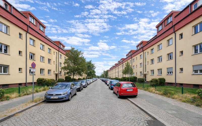
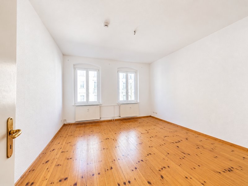
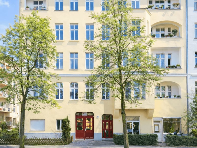
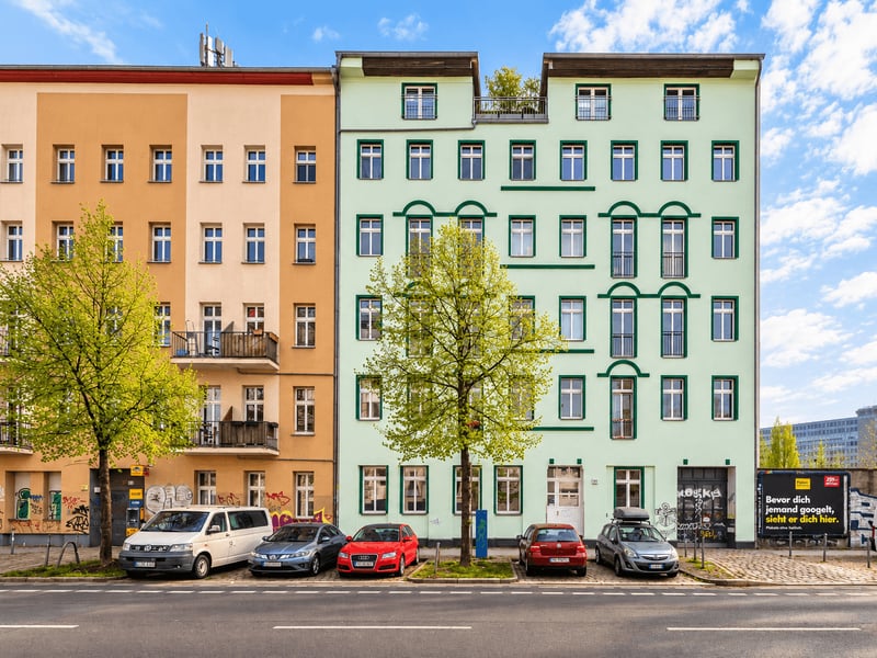
The Kaskelkiez in the north of the district remained largely untouched by this transformation. Here stands the Gründerzeit fabric that defines the older part of Rummelsburg and that has been renovated over the years.
Points of Interest
The key reference point is the Rummelsburg Bay itself. The shoreline paths along the bay connect the Wasserstadt with the Stralau peninsula on the opposite side and offer the view across the water that sets the district apart from other Lichtenberg locations. In summer, the bay is a draw for walkers and water sports.
The industrial heritage is the second layer. Preserved brick buildings and former works and railway sites tell of the location's industrial past. Berlin's industrial culture lists Rummelsburg as a stop of its own, tracing this history along the shore and the tracks.
The Rummelsburg S-Bahn station is not only a transport hub but also a structural anchor. The wide track systems and the adjacent depot station are part of the district's character and mark the boundary between the Kaskelkiez and the areas toward the south.
Popular Kieze in Rummelsburg
- Kaskelkiez (Victoriastadt): The Gründerzeit core in the north of the district, densely built and grown over more than a hundred years. A renovated period-building quarter with local amenities and quiet residential streets, set apart from the track systems.
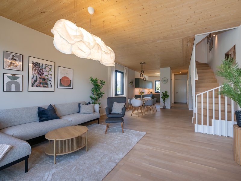
- Wasserstadt Rummelsburger Bucht: The new development quarter on the northern shore of the bay, developed from the late 1990s onward. Townhouses, urban villas, and apartment-block construction with a waterside setting and promenades.
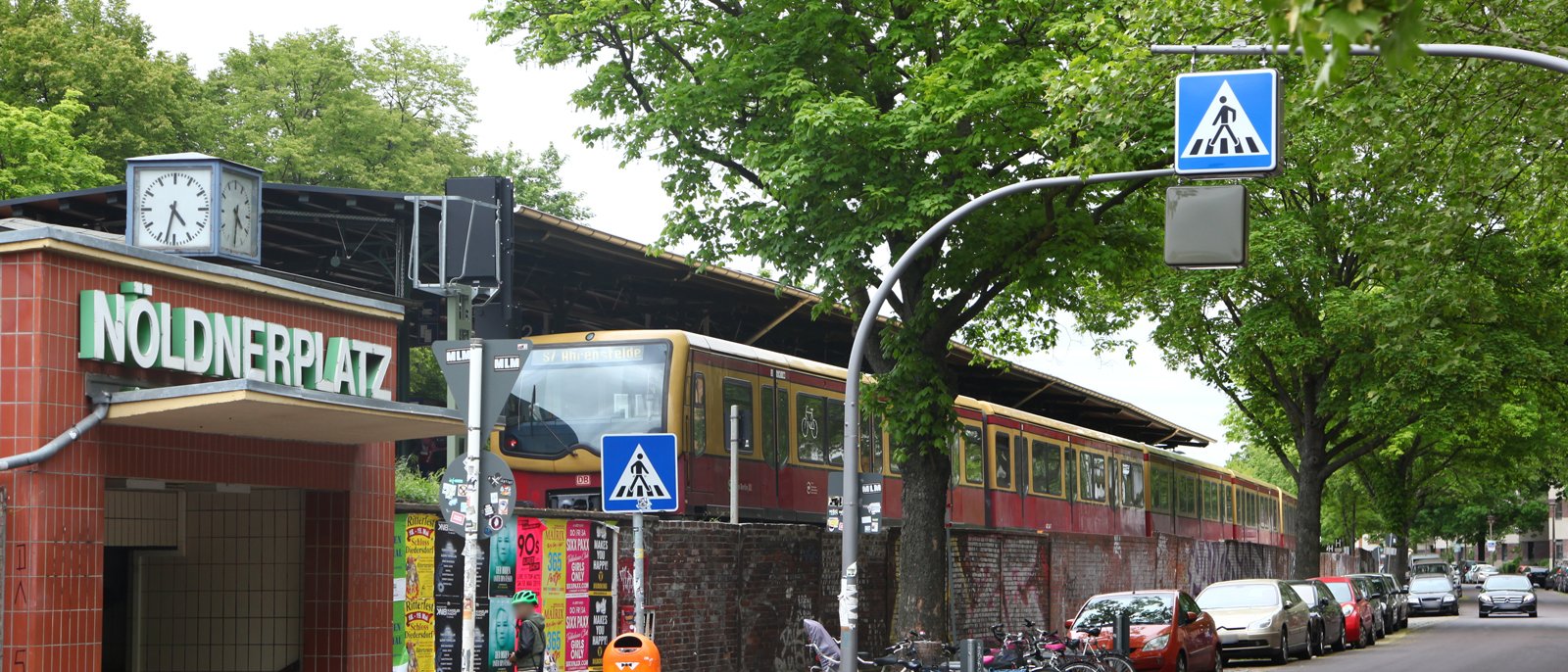
- Nöldnerplatz: The area around the square and S-Bahn station of the same name, a transition between the Kaskelkiez and the Lichtenberg locations bordering it to the north.
Scene and Everyday Life
Life in the district plays out at two poles. In the Kaskelkiez, neighborhood dining, small shops, and local amenities along the residential streets shape everyday life. The quarter has the character of a grown residential Kiez, where provision rests on the needs of its residents.
By the water, the bay sets the rhythm. The shoreline paths are used for walking, jogging, and spending time by the water, and in summer the Rummelsburg Bay draws visitors from the neighboring districts. The connection to Stralau and Friedrichshain brings the leisure and dining offerings of the surrounding area within walking distance.
Who Lives in Rummelsburg
How households break down by size is shown in the following breakdown.
| Household size | Count | Share |
|---|---|---|
| 1 person | 8,983 | 59 % |
| 2 people | 3,165 | 21 % |
| 3 people | 1,651 | 11 % |
| 4 people | 1,013 | 7 % |
| 5 people | 264 | 2 % |
| 6+ people | 153 | 1 % |
The age structure of the district gives an indication of how the existing quarter and the new development by the water are reflected in the population.
| Age group | Count | Share |
|---|---|---|
| under 6 | 1,814 | 6 % |
| 6–15 | 2,566 | 9 % |
| 15–18 | 709 | 2 % |
| 18–27 | 2,917 | 10 % |
| 27–45 | 12,094 | 41 % |
| 45–55 | 3,975 | 14 % |
| 55–65 | 2,649 | 9 % |
| 65+ | 2,467 | 8 % |
The composition of the resident population by region of origin rounds out the picture.
| Region of origin | Count | Share |
|---|---|---|
| EU | 3,030 | 38 % |
| Vietnam | 819 | 10 % |
| Ukraine | 611 | 8 % |
| India | 594 | 8 % |
| Syria | 591 | 7 % |
| Russia | 520 | 7 % |
| Turkey | 363 | 5 % |
| USA | 259 | 3 % |
| unassigned | 222 | 3 % |
| United Kingdom | 204 | 3 % |
| Afghanistan | 169 | 2 % |
| Kazakhstan | 131 | 2 % |
| Iran | 126 | 2 % |
| China | 121 | 2 % |
| Iraq | 85 | 1 % |
| Lebanon | 48 | <1 % |
Who Is Drawn to Rummelsburg
How the population renews itself is shown by the migration data. Arrivals from beyond the city limits and the exchange within Berlin determine how the small district changes.
| # | Country | Inflow | Outflow | Net |
|---|---|---|---|---|
| 1 | Vietnam | 112 | 44 | 68 |
| 2 | Indien | 112 | 30 | 82 |
| 3 | Ukraine | 77 | 37 | 40 |
| 4 | Italien | 41 | 64 | -23 |
| 5 | Türkei | 37 | 21 | 16 |
| 6 | Bulgarien | 35 | 33 | 2 |
| 7 | Russische Föderation | 28 | 18 | 10 |
| – | Deutschland | 530 | 712 | -182 |
Within Berlin, the exchange is close with the neighboring districts that are directly connected via the bay and the railway.
| # | District | People |
|---|---|---|
| 1 | Friedrichshain | 353 |
| 2 | Prenzlauer Berg | 150 |
| 3 | Neukölln | 143 |
| 4 | Lichtenberg | 116 |
| 5 | Kreuzberg | 112 |
In the opposite direction, the movement runs along similarly small-scale lines, above all into the adjacent districts.
| # | District | People |
|---|---|---|
| 1 | Friedrichshain | 201 |
| 2 | Friedrichsfelde | 155 |
| 3 | Karlshorst | 90 |
| 4 | Neukölln | 88 |
| 5 | Lichtenberg | 82 |
Buildings and Apartments
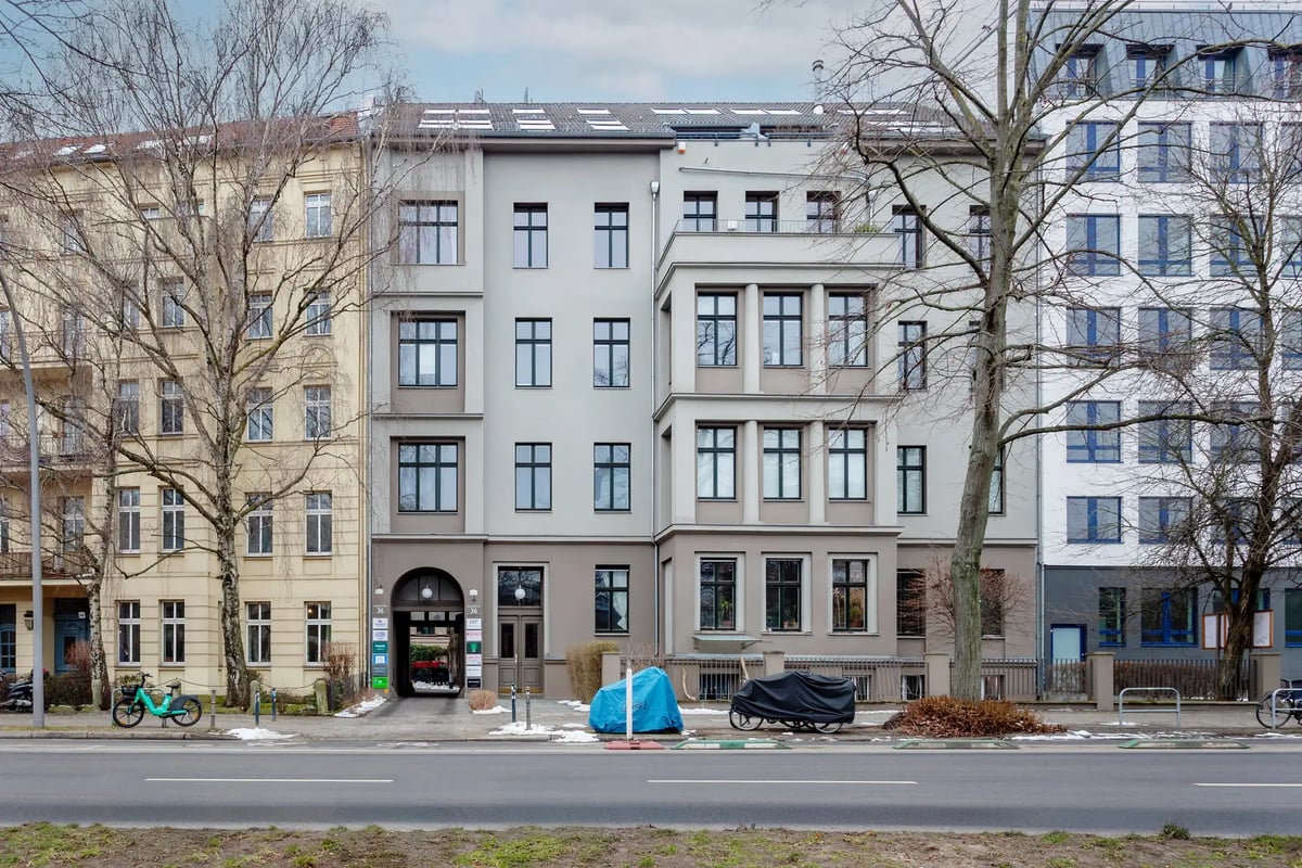
The building stock comprises 1,835 buildings. It divides into two clearly distinguishable layers. In the Kaskelkiez stands the Gründerzeit fabric, densely built and renovated over the years. On the shore of the bay stands the new construction of the Wasserstadt, from townhouses through urban villas to apartment-block construction. A chart data source for construction periods is not available; this assessment is based on the Guthmann market report.
How the stock breaks down by size class is shown in the following overview.
| Size class | Count | Share |
|---|---|---|
| Unter 40 m² | 1,569 | 10 % |
| 40-59 m² | 5,459 | 35 % |
| 60-79 m² | 5,074 | 33 % |
| 80-99 m² | 1,897 | 12 % |
| 100-119 m² | 790 | 5 % |
| 120-139 m² | 273 | 2 % |
| 140-159 m² | 151 | <1 % |
| 160-179 m² | 104 | <1 % |
| 180-199 m² | 99 | <1 % |
| 200+ m² | 82 | <1 % |
The use of the stock is also revealing for the social mix of the district.
| Type of use | Count | Share |
|---|---|---|
| Rented | 14,010 | 89 % |
| Owner-occupied | 1,255 | 8 % |
| Vacant | 231 | 1 % |
| Commercial | 249 | 2 % |
New construction activity gives an indication of whether further housing is being added after the building of the Wasserstadt.
| Period | Apartment balance |
|---|---|
| 2021 | 243 apartments |
| 2022 | 143 apartments |
| 2023 | 440 apartments |
| 2024 | 283 apartments |
Transport and Infrastructure
The district is served by the S-Bahn. The Rummelsburg S-Bahn station lies on the line toward Ostkreuz, from where the ring and city lines open up the entire Berlin network. Ostkreuz is one of the central hubs of the Berlin S-Bahn and brings Rummelsburg within a short ride of Friedrichshain, the inner city, and the ring. The Nöldnerplatz S-Bahn station additionally serves the northern part of the district.
By road, the district is connected to the main Lichtenberg arteries, which lead north to Frankfurter Allee and south toward the Spree. The shoreline paths along the Rummelsburg Bay open up the district for pedestrians and cyclists and connect it with Stralau and the adjacent green corridors.
Local amenities rest on the Kaskelkiez and the residential streets, where shops and supermarkets serve residents. The water of the bay is the defining green space: the waterfront promenades and the green corridors of the Wasserstadt form the open space by the shore that sets the district apart from more densely built Lichtenberg locations.
Who Rummelsburg Suits
- Owner-occupiers by the water: The Wasserstadt with townhouses and urban villas on the shore appeals to buyers for whom the waterside setting and the view across the bay matter, while remaining close to the inner city via Ostkreuz.
- Commuters with rail access: The short connection to Ostkreuz and into the Berlin S-Bahn network makes the district attractive for anyone who works centrally and wants to live more quietly.
- Admirers of Gründerzeit fabric: The renovated Kaskelkiez offers period buildings in a grown residential quarter, set apart from the new construction by the shore.